Alaskan Adventure: Day 48 & 49. After arriving at our campsite for the next 4 nights we drove into Denali National Park and Preserve. We toured the Visitors Center and the Gift Shop then drove the Parks Road as far as non-Park vehicles are allowed to go. The next day our group did a bus tour in Denali called “Tundra Wilderness Tour”.

The Alaska Range. This panorama is about 10 photos stitched together and was taken along the Parks Highway between Fairbanks and Healy/Denali.

Entrance to Denali Park Road. There is only one road into Denali. Private Vehicles can go to the Visitors Center and then past it for about 15 paved miles. At that point the road becomes dirt/gravel and only Park Tour Buses (with a few exceptions) can proceed further into the park.
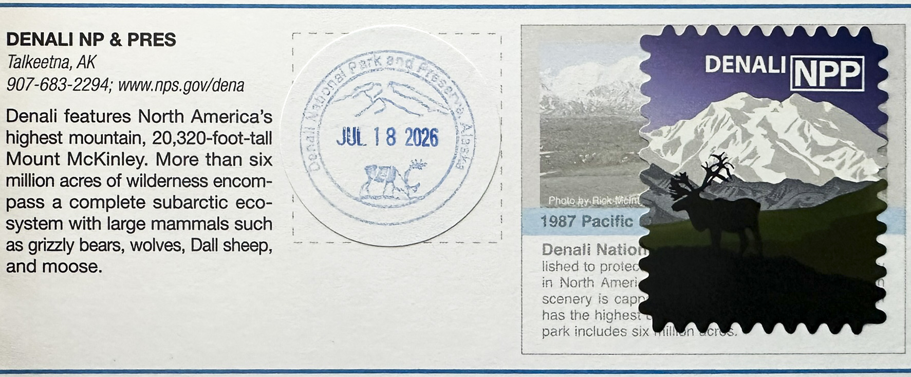
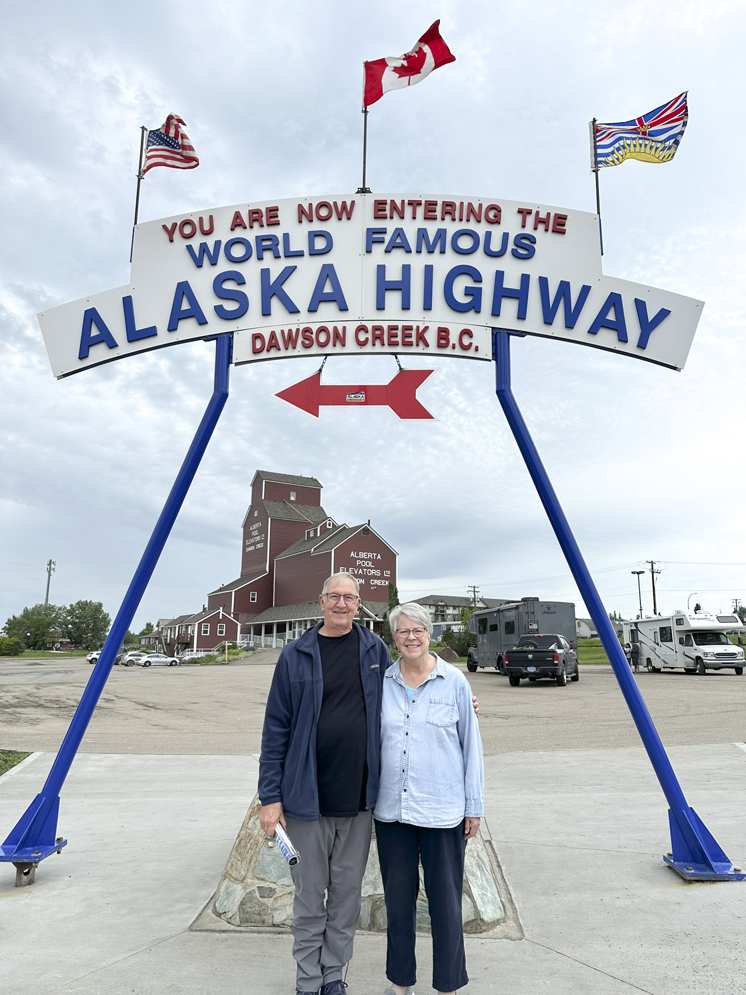
Got the stamp.

Thought I better take a picture of a picture of Denali. The tallest mountain in North America is not easy to see. Partly because it is usually covered with clouds and also because it is really far away.


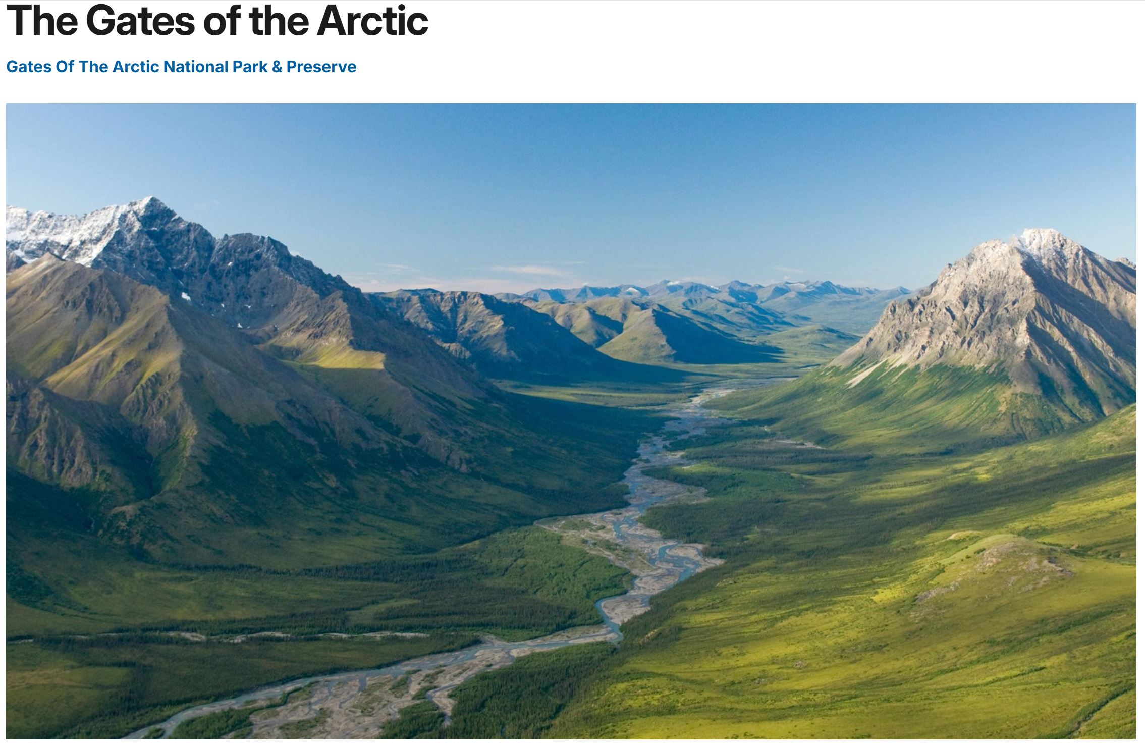
The world looking down from the Arctic Circle.

Wood Carving Art in the Visitors Center.

Art in the Visitors Center.

Inside the Visitors Center.


This graphic was at a pull-off area on the first portion of the Park Road (the part we could drive on).

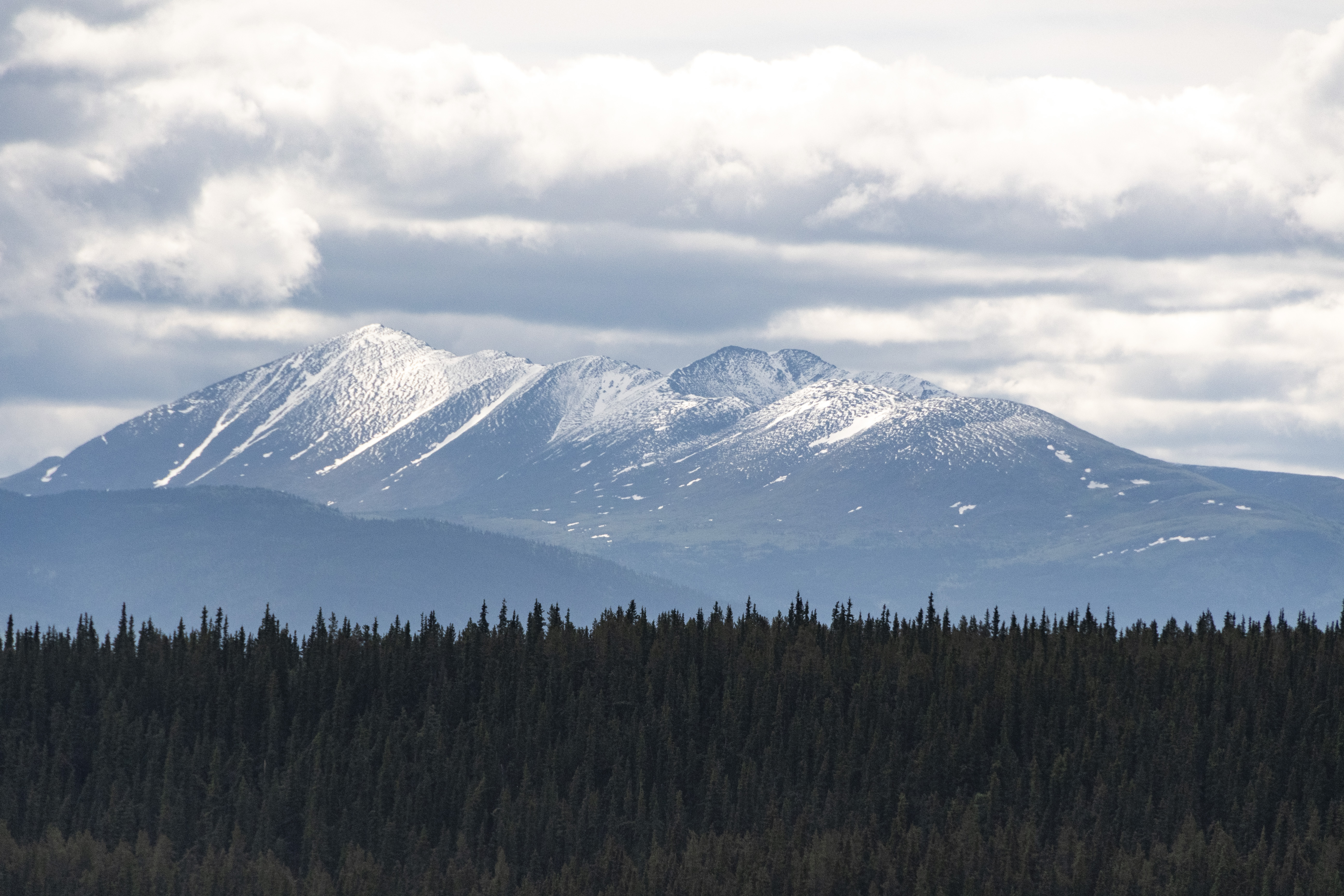
IF it was a clear day… you would see snow capped Mount Denali/McKinley right between Double Mountain (on the left) and the rounded Sable Mountain (on the right).

Imagine Denali right above those low, jagged peaks. That’s where it is, about 80 miles away from where I was standing.


Wildflowers.


More Wildflowers.

“Sunset” at around midnight. Photo by Cindy, one of the group members (Thanks, we were asleep at midnight) of our dirty RV with sunlit mountains in background.
The next morning our group met to go on the Tundra Wilderness Tour Bus. The bus was fairly new but basically a no frills ‘prison bus’. We would stay on that bus for 5 hours with two stops to get off for bathroom breaks. There were some stops to view wildlife and some good narration by the driver of the park history and other points of interest. The views from the bus were wonderful, especially when we were up above the tree line, and we saw quite a few wild animals, but photography is not what those buses were designed for.
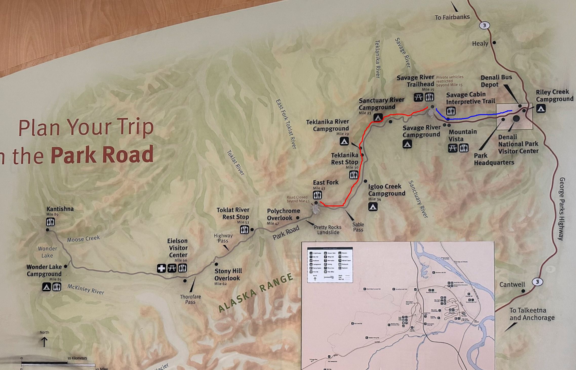
The BLUE line is the first 15 miles of paved road that we could drive on.
The RED line is the unpaved road. The bus tour drove out to mile 43 then turned around and returned with stops at the Taklanika Rest Stop.
The road is closed at “Pretty Rocks Landslide”. If the road was open all the way out to the end at Kantishna it would be a 12 hour bus ride.

Another view of the Park Road on the topo map.


A few mountaintop pictures from the early part of our bus trip up the Park Road.

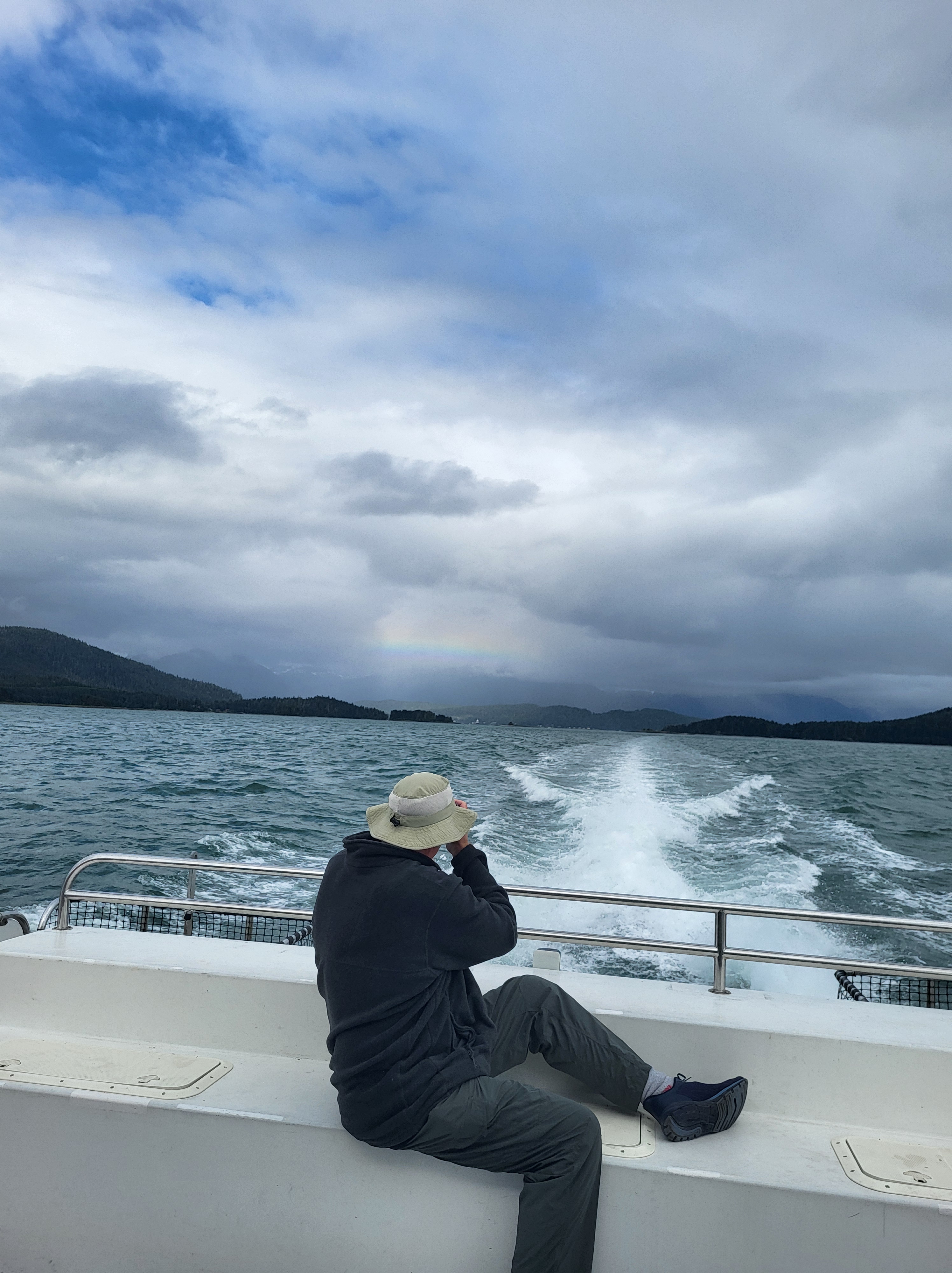
Nice view from the bathroom rest stop. The Savage River. The haze up the river valley is not rain. It was a REALLY windy day and the haze is glacial silt dust being stirred up by the wind.


Not sure what kind of bird this is but it posed nicely.


The first wildlife we stopped for was this Ptarmigan family along the Park Road.

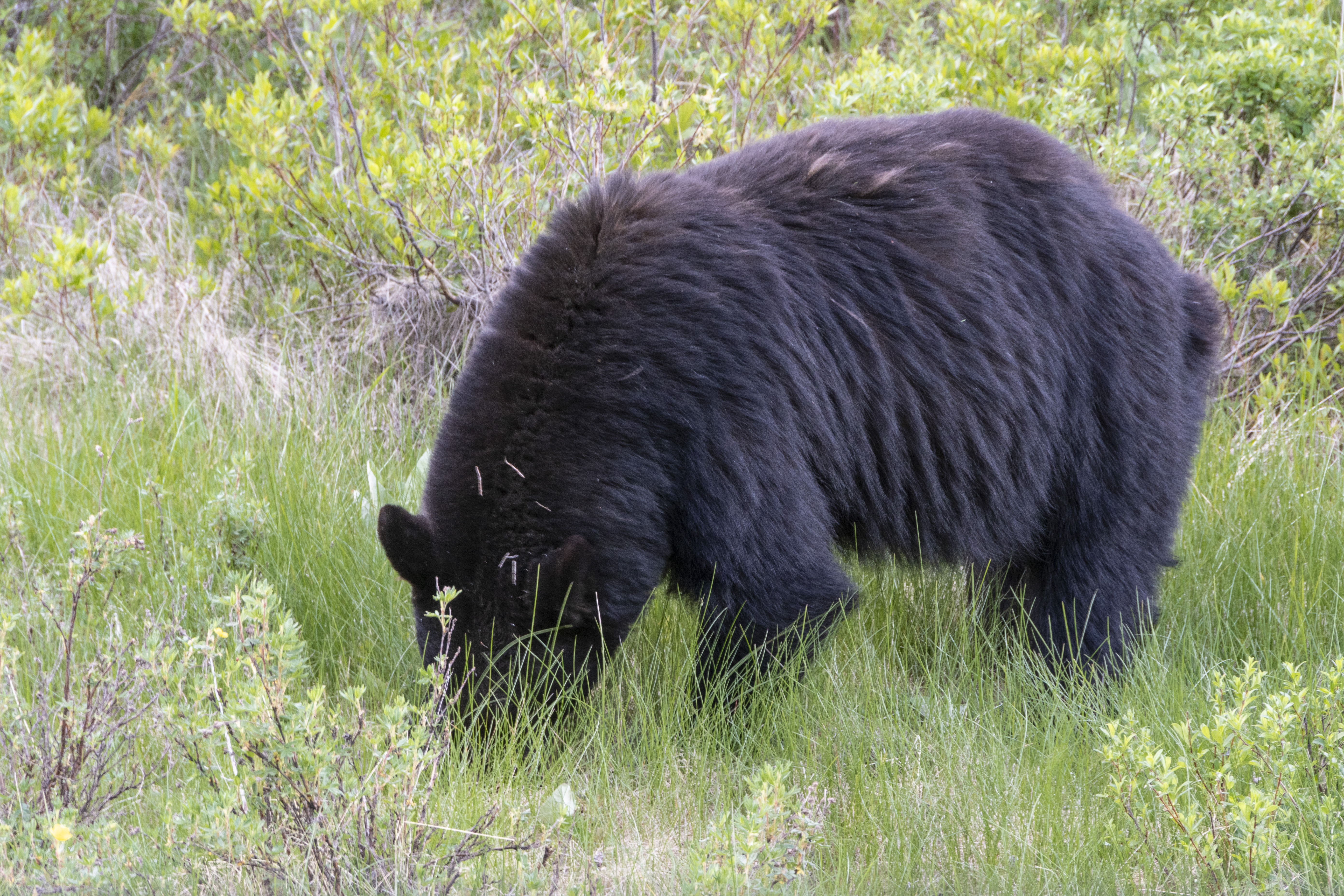
Then we saw a sleepy Grizzly Bear.

I’m thinking the real bear has seen this bronze bear at the Visitors Center and is posing for his own statue.

Mr. Sleepy Bear politely stood up to pose for us.

Rugged Mountaintops and spindly spruce trees near the treeline.

Mountain views as we went higher into the Tundra on the Park Road

Snowy mountains but too cloudy and too distant to see Mt McKinley/Denali.

This is near the turn-around-point. A landslide just around the corner at “Pretty Rocks” several years ago closed the road. A bridge has been constructed to span the landslide area. The road is supposed to open next summer.

Two Dal Sheep – far, far, away on the mountainside.

We saw caribou, also very far away.

Fuzzy, highly cropped pic of Caribou on ridgetop.

Bull Moose.
Moose video.

Four Dal Sheep on mountainside.

Caribou.

Mr. Grizzly was back to sleeping on our return trip.

Last photo of the day is of the sunlit mountain overlooking our campsite as some dark rain clouds came over.

We had dinner at “49th State Brewing” in nearby town of Healy. They have a “replica” bus representing the “Into the Wild” story of Christopher McCandless. The “real Magic Bus” Bus 142 was at the Fairbanks Museum of the North which we visited but the bus was being conserved for future display so we could not see it.
Favorite Bible reading today: John 8:56-58
Your father Abraham was overjoyed that he would see My day, and he saw it and rejoiced.” So the Jews said to Him, “You are not yet fifty years old, and You have seen Abraham?” Jesus said to them, “Truly, truly I say to you, before Abraham was born, I am.”