7 of 12 – 2024 Fall Trip West Series. Canyonlands National Park “Island in the Sky” and Dead Horse Point State Park. The “Island in the Sky” name refers to the 2,000′ high mesa the entire area is on (compared to the river valley floor below).
The Merrimack and Monitor: a pair of buttes named after the Civil War ironclad ships USS Merrimack and USS Monitor.
The road zigzagging down to the Colorado River Valley District in this photo is called The Shafer Trail. It’s a 19 mile long 4WD dirt road. The Shafer Trail road also shows up in the first photo of this post. It was originally a route made by Native Americans, then named after a 1916 era Mormon Settler “Sog Shafer” who improved it. The it was further improved and widened for large trucks bearing uranium rock by the Atomic Energy Commission. After Canyonlands became a National Park in 1964 it transitioned to today’s backcountry recreation trail. I couldn’t convince anyone to try it.
Layers upon layers upon layers.
Arches National Park has lots of Arches but Canyonlands has some too. This one is the famous Mesa Arch.
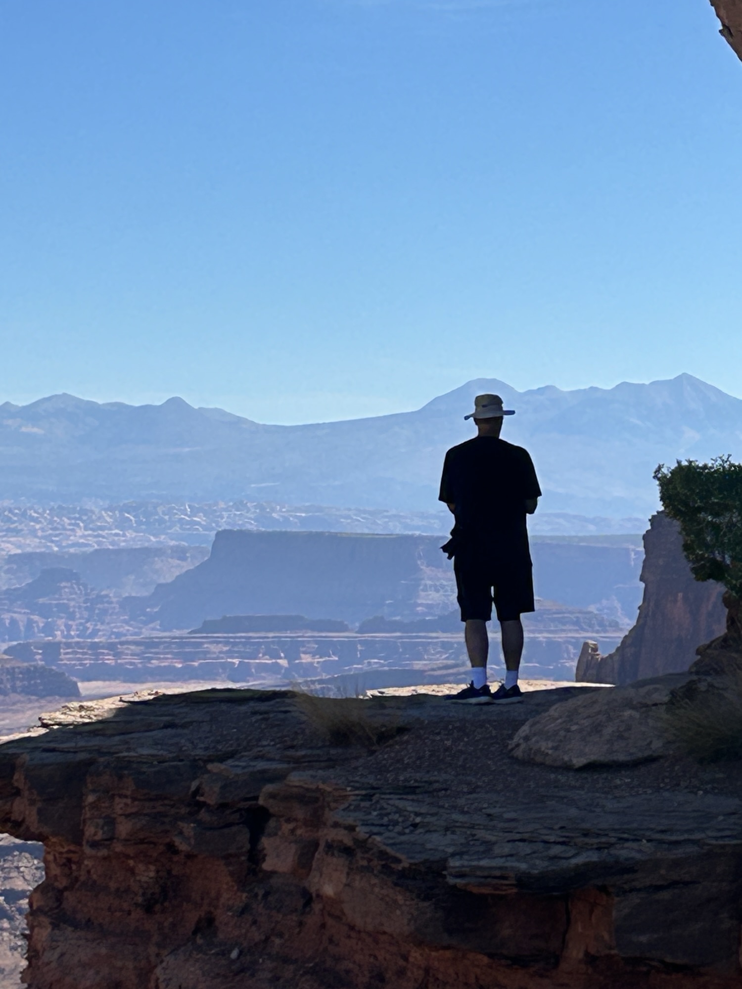
An Island in the Sky.
View from the overlook at Dead Horse Point State Park.
Sweeping views across canyon from Dead Horse Point State Park.


Pingback: 2024 Fall Trip – Utah National Parks & Albuquerque Balloon Fiesta | DADart Photography