Alaskan Adventure: Day 63. Kenai Fjords Tour by boat. All day tour of Resurrection Bay and and Aialik Bay on the “Alaskan Explorer” boat.
The foggy morning view of the mountain by our campsite. Wondered if we would see much from the boat. It all worked out as the cloud layer gradually lifted higher until we had sunshine by the end of the day.
We were seeing wildlife in the marina before we got on the boat.
Beautiful scenery in Kenai Fjords.
Puffins running frantically to achieve lift-off is fun to watch.
Sea Otters.
Bald Eagle snacking on something in the tree.
More Puffins. I love Puffins. This is a Tufted Puffin.
Hump Back Whales in the distance. We did not go over to see these because we were looking at Orcas.
Orca (Killer Whales)
“We’re gonna need a bigger boat”
A flying Puffin.
Island out at the end of Resurrection Bay where we turned to enter Aialik Bay to view Aialik Glacier.
First view of the top of Holgate Glacier.
This is Holgate Glacier. We did not go up close to this as we passed by on our way to the bigger Aialik Glacier.
Holgate Glacier.
Black Bear making himself at home as the kayakers wait to get back to their tents.
Coming around the island for first views of Aiailk Glacier.
The entire mile wide Aiailk Glacier.
Top edge of the glacier with some sunshine!
Ice calving from Aialik Glacier.
More ice calving. It was awesome to hear the ice cracking and roaring as it crashed down.
Humpback Whale as we were returning up Aialik Bay.
The Blow.
The Hump.
The Tail.
Cirque Glaciers in Resurrection Bay as we were returning to Seward. We went past these at the beginning of the trip but at that time they were hidden in the clouds.
Classic “U” shaped glacial carved valley into Resurrection Bay.
Almost back to Seward.
Our boat for the day.
Favorite Bible verse of the day: Acts 17: 1-4
Now when they had traveled through Amphipolis and Apollonia, they came to Thessalonica, where there was a synagogue of the Jews. And according to Paul’s custom, he went to them, and for three Sabbaths reasoned with them from the Scriptures, explaining and giving evidence that the Christ had to suffer and rise again from the dead, and saying, “This Jesus whom I am proclaiming to you is the Christ.” And some of them were persuaded and joined Paul and Silas, along with a large number of the God-fearing Greeks and a number of the leading women.
Alaskan Adventure: Day 43. On our first full day in Fairbanks we visited two very different places. First we went to the little touristy town of North Pole, Alaska. After a quick a quick trip through Santa Clause House we did some grocery shopping and washed the car. Returning to camp we got some rest before heading to the Fairbanks International Airport for our second place to visit way above the Arctic Circle in the Brooks Range Mountains.
Santa Clause House, North Pole, Alaska.
All things Christmas trappings but no sign of Christ anywhere.
The North Pole…
With that tourist destination done we rested for awhile, then left for our flight to “Brooks Range & Gates of the Arctic”.
Our plane, “Navajo Charlie Echo”. This is before boarding in Fairbanks.
Our pilot. He climbed into his seat through the open window beside him.
We had several brilliant rainbows as we started North from Fairbanks.
The mountains in the distance are the “White Mountains Range”.
Pictures from flying North – Fairbanks to Coldfoot. Lots of glare and dirty smudges on the windows depending on which direction the plane was turned.
Astonishingly, there is only one bridge that crosses the Yukon River in the whole State of Alaska. Here’s two pictures of that bridge that is both for vehicles and the Alaska Pipeline. The road is the Dalton Highway or “the Haul Road” which was built to enable the construction of the Alaska Pipeline from Prudhoe Bay to Valdez.
The Alaska Pipeline on the left. The Dalton Highway in the middle, I don’t remember the name of this river (not the Yukon). The pipeline is often above ground but goes underground in many places including going under this river instead of bridging across it.
Another view of Pipeline, Road, and meandering river.
We landed on a gravel airstrip in Coldfoot. Coldfoot is about 60 miles North of the Arctic Circle.
We had cell service in Coldfoot. This screenshot of a weather app shows how far north we were and we would fly further north to get into the Brooks Range Mountains and Gates of the Arctic National Park.
The Alaska Pipeline running alongside the gravel runway in Coldfoot.
The Arctic Interagency Visitors Center in Coldfoot.
The (Northern) Arctic Circle is 66-degrees, 34-minutes (or 66 1/3-degrees) latitude. The Arctic Circle marks the southernmost latitude for which at the December solstice (winter) the Sun does not rise and at the June solstice (summer) the Sun does not set. These phenomena are referred to as polar night and midnight sun, respectively, and the closer to the pole one goes, the longer that situation persists.
Our flight did not follow the road from Fairbanks to Coldfoot but we saw the road and the pipeline in several places.
This map shows the “Yukon Flats National Wildlife Refuge”.
“Becca” picked us up at the airstrip (there is no airport building) in the white van. She drove us a short distance on the Dalton Highway to the Visitors Center. After the Visitors Center she drove us to “Coldfoot Camp” which is the only place to go in Coldfoot. This building was built by truckers using pallet wood and other scrap material. It houses a buffet restaurant, bar, and gift shop.
Inside at the bar “The Frozen Foot Saloon”. The most Northern bar in USA. People who can live here year round are rugged. This place is colder than Fairbanks and last winter Fairbanks had 6 continuous weeks where it did not get above 20 degrees below zero!
Outside at Coldfoot Camp are semi’s idling waiting to take their loads of pipeline pipe. Along the bank of grass to the left in the photo are tents of people who could not get a room in the hotel. Google that Coldfoot Camp Hotel if you want to book a room. The pipe is for new pipeline from new oil wells being opened West of Prudhoe Bay/Deadhorse in the National Petroleum Reserve area. They will connect those new wells to the existing Alaskan Pipeline.
After a short visit in Coldfoot Camp we loaded back on the van and returned to the airstrip hoping for a flight into the Brooks Range Mountains and Gates of the Artic National Park. Because of the questionable weather and low clouds there was a good chance that they would not attempt the flight further north into the mountains. If canceled, the fall-back was a van trip on the Dalton Highway up to another little town called Wiseman where a few brave souls (like 8) live year round. Fortunately the pilots were ready to go when we returned to the airstrip.
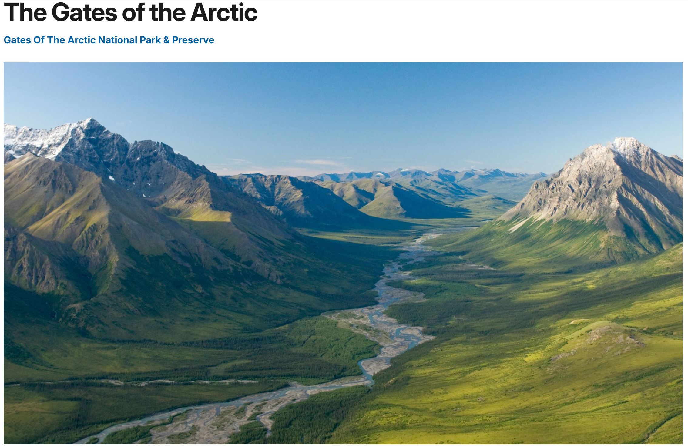
Gates of the Arctic National Park and Preserve: 8.4 Million Acres of wilderness in the Brooks Range Mountains. The “Gates” reference is to a specific place in the North Fork of the Koyukuk River Valley between two mountains; Boreal and Frigid Crags. This “Gate” marks the transition from “Interior” Alaska to “Northern” Alaska.
Screen shot from the park website showing “the Gate”. Looking North, Frigid Crags on the left, Boreal on the right.
Our pilot took us up the valley to “the Gate”. This photo was taken around 10:30pm.
I think this is the same valley but looking South instead of North. But we flew up and down lots of valleys so could be wrong.
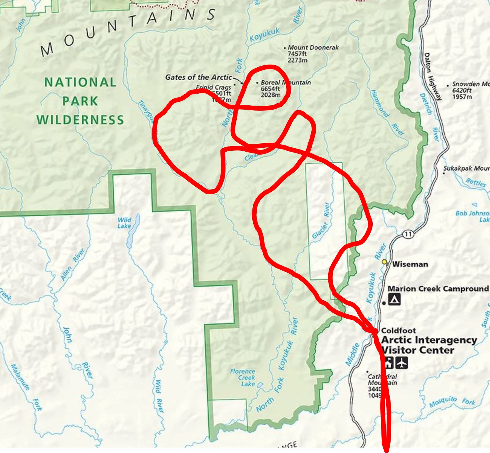
This is an approximation of how we flew around in Gates of the Arctic. Pilot knew what he was doing as we flew from one glacial valley to another. Always below the cloud layer and between the highest peaks. All I remember afterwards is the Gates and Redstar mountains he specifically pointed out.
This is the map they gave us on the plane.
There were two airplanes. This is the other plane that was usually following ours but at one point was going the opposite direction on the other side of the valley. It is impossible to appreciate how huge these mountain valleys are. This is a “zoomed in” shot of this plane. It was teeny tiny to us as we watched it fly by.
The mountain on the right is called “Redstar”.
More pics of Redstar Mountain.
Pilot was using this visual Garmin app to fly in the valleys.
Out of time we started heading home.
The sun was still shining brightly at around 11:30 as we flew back toward Fairbanks across the Yukon Flats.
“Sunset” at we flew back over the Yukon Flats Wildlife Refuge.
Down low coming back into Fairbanks around midnight.
Landing on the little baby size runway at Fairbanks.
The brown building on the left was our “airport terminal” building. This picture was taken at midnight as we were walking back to the car. There was plenty of “daylight”. The mosquitoes must have thought it was feeding time at dusk because they were aggressive.
Our official certificates… We flew about 100 miles North of the Arctic Circle and feel incredibly blessed. Gates of the Arctic National Park is the least visited of all 63 National Parks. There are no roads to this park. There are not even any trails to this park. The only way to visit is by airplane or bushwhacking for weeks into the wilderness.
Favorite Bible reading today: John 3: 31-36
“He who comes from above is above all; the one who is only from the earth is of the earth and speaks of the earth. He who comes from heaven is above all. What He has seen and heard, of this He testifies; and no one accepts His testimony. The one who has accepted His testimony has certified that God is true. For He whom God sent speaks the words of God; for He does not give the Spirit sparingly. The Father loves the Son and has entrusted all things to His hand. The one who believes in the Son has eternal life; but the one who does not obey the Son will not see life, but the wrath of God remains on him.”
Alaskan Adventure: Days 23-26. Internet was real iffy in the National Parks. Signs along TransCanada Highway 1 say “No cell service next 350 Kilometers”. I’m way behind on posting pics so this post will cover several days.
June 23 – Tuesday: Another beautiful sunny day. We were still ahead of the rest of group from church so we decided to do the drive up through Banff and then up toward Jasper on the Icefields Parkway. We would see this again on June 26 when we moved from our campsite at Banff to our campsite at Hinton but would not be able to stop at the overlooks with the RV and tow car. Also looking at weather ahead it was forecast to be rainy on our travel day which turned out to be true so we were glad we did the drive on a sunny day.
Breathtaking mountains, glaciers, waterfalls, turquoise rivers and lakes! This is a beautiful drive.
Such a variety of different mountains. I didn’t keep track of place names, just enjoyed the drive and took a few pics along the way. Really wanted to get up to Sunwapta Falls near Jasper. Next group of pics and videos is of Sunwapta Falls.
Tourists enjoying one of our favorite places on earth.
The “Weeping Wall”
The Banff Visitor Centre at Lake Louise. We stopped here on our way back. There are some shops nearby and a small grocery where we picked up some sandwiches for dinner.
We stopped at Johnston Canyon Campground and had dinner with Damon and others who had arrived that afternoon. Enjoyed seeing everyone from home after 23 days on our own!
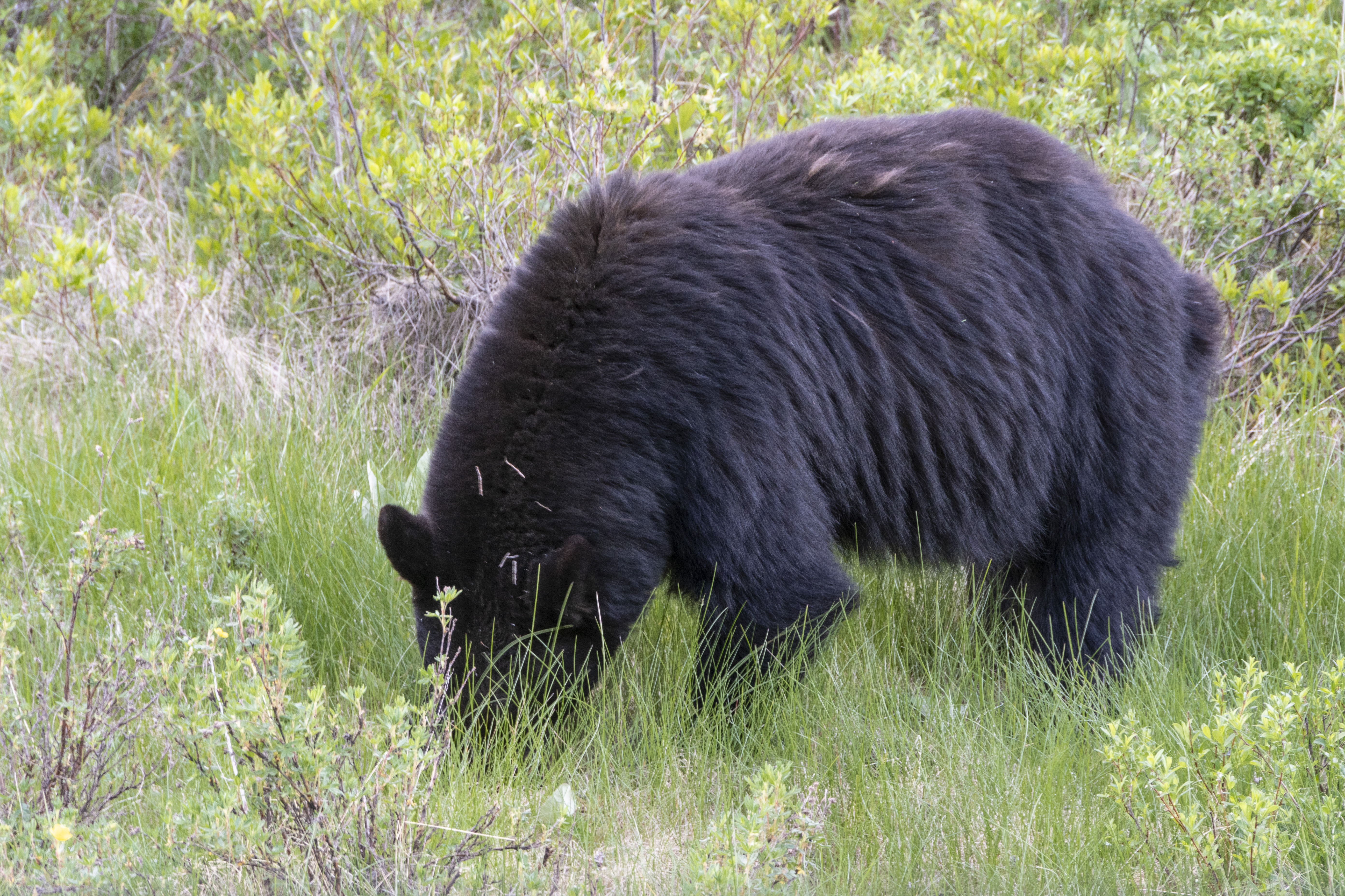
Sad to say I have no pics of the evening at camp. But I did take this pic of the tallest, healthiest dandelions I’ve ever seen… We said our goodbyes for the day and headed back to our campground about 30 minutes away. Very soon after leaving the campground Becky says “Oh! I thought I saw a bear but it’s just a culvert” We drove right by and both went “It WAS a BEAR!” so turned around a got a pic. This bear was headed in the direction of the campground, looking for a pic-a-nic basket no doubt.
The “Culvert”
The Bear.
June 24 – Today was a day of errands. We both needed haircuts so drove into the nearby Town of Canmore for that and some groceries. While there we checked with Aspen Glass to see if they could fix the crack in our RV windshield. They said yes, if we could be back with the RV in an hour. So we rushed back to Banff and got back to Canmore with the RV. They worked for almost an hour to inject some kind of glue into the crack. Some went in but not as much as Brian (the shop owner) would have liked. I was shocked when he would not accept any payment for his time and materials. Highly recommend Aspen Glass and thank Brian for his help and generosity!
After getting back from Canmore we drove up to visit with the Johnston Canyon Campground group and have dinner with Damon. We had purchased some baby back ribs in Canmore so Damon heated those up on his grill. It was a good time together.
The only pictures today are from our campsite. As we were getting ready to drive to Canmore a herd of elk were walking through. They walked right by. We had to wait for one of them to move so we could back out of our parking spot.
Waiting in the car for elk to finish grazing so we can back up and go. There were lots of baby elk who made cute squeaky noises amid a few bellows from the bull elk watching over his harem.
June 25 – This morning we drove back up to the Johnston Canyon Campground. We picked up Damon and headed for the Lake Louise ski area where all the buses come and go for visits to Lake Louise and Moraine Lake. Becky and I paid for a bus trip to Lake Moraine and back so pics that follow are all Lake Moraine. Damon had a ticket for both lakes on a different bus line.
It’s called “Moraine Lake because it is held back by a moraine of rocks blocking the valley and creating the lake. At the lowest spot the melting snow runs out of the lake here where there is a stream under all those logs. Each winter avalanches drag trees down into the frozen lake. In the spring they all float to here in a big log jam.
While waiting for Damon’s bus we walked along the lakeshore path and enjoyed views of the clear water and turquoise colors.
View from the parking lot where we met up with Damon.
Becky waited for us at the Cafe/Gift Shop area while Damon and I went to climb “The Rockpile”.
Damon really wanted to see a bear. Making the best of things by befriending two pet bears.
Getting ready to climb the Rockpile.
Moraine Lake from the Rockpile.
Mug shots from “The Rockpile”.
This is “Castle Rock”. Below the front edge of that mountain in the valley is Johnston Canyon and the Johnston Canyon Campground. Damon (the mountain goat) climbed a trail that ended just above the tree line at that front edge.
Hanson’s said “we’re going to Banff for vacation; if anyone wants to tag along you’re welcome” and look what happened! Photo credit goes to Haley Ney. Herding cats credit goes to David for getting everyone together for this shot. I don’t know all the names so not even going to try. If anyone wants to send me a list I’ll post it here.
“The Hoodoos” rock formation near our campground.
Elk at the turn-in to our campground. Obeying the stop sign and checking traffic before crossing…
June 26 – We left Banff and traveled through Jasper to Hinton. It was a rainy day as expected but the views were still beautiful with low hanging clouds in the valleys. Below are three pics for the day, all from the dashcam.
Wildlife overpass bridges look much more natural. We saw them 10 years ago as they were just being built.
This is the “Welcome to Jasper” sign with the entire area burned by massive fires. Very sad after seeing this area 3 years ago before the fires.
The massive smooth black rock here has been rubbed over by a glacier. I think that’s cool.
We arrived in Hinton at the Jasper/Hinton KOA. That’s it for this “Part 1” of the trip. We will do laundry and shopping in Hinton before heading up the “Scenic Route” to Dawson Creek where we will meet the rest of our RVAdventureTrek group for the next two months in Alaska.
Favorite Bible verses for today: Matthew 6:25-34
25 “Therefore I tell you, do not worry about your life, what you will eat or drink; or about your body, what you will wear. Is not life more than food, and the body more than clothes? 26 Look at the birds of the air; they do not sow or reap or store away in barns, and yet your heavenly Father feeds them. Are you not much more valuable than they? 27 Can any one of you by worrying add a single hour to your life[a]?28 “And why do you worry about clothes? See how the flowers of the field grow. They do not labor or spin. 29 Yet I tell you that not even Solomon in all his splendor was dressed like one of these. 30 If that is how God clothes the grass of the field, which is here today and tomorrow is thrown into the fire, will he not much more clothe you—you of little faith? 31 So do not worry, saying, ‘What shall we eat?’ or ‘What shall we drink?’ or ‘What shall we wear?’ 32 For the pagans run after all these things, and your heavenly Father knows that you need them. 33 But seek first his kingdom and his righteousness, and all these things will be given to you as well. 34 Therefore do not worry about tomorrow, for tomorrow will worry about itself. Each day has enough trouble of its own.
Alaskan Adventure: Day 21 & 22. Travel day from Waterton National Park to Banff National Park with a stop at “Head-Smashed-In Buffalo Jump and the first day visit to downtown Banff.
When we raised the front blind we discovered a crack in the front windshield. There was a little chip in the glass right at the bottom. Must have happened several days earlier when traveling from Glacier to Waterton but the crack going up was new. Hopefully will not get worse.
Leaving Waterton on another sunny day we stopped at an overlook with a wide open view of the open grasslands.
Explanation of the area. We have seen lots of antelopes and deer on our travels but either too far away or no place to stop for photos.
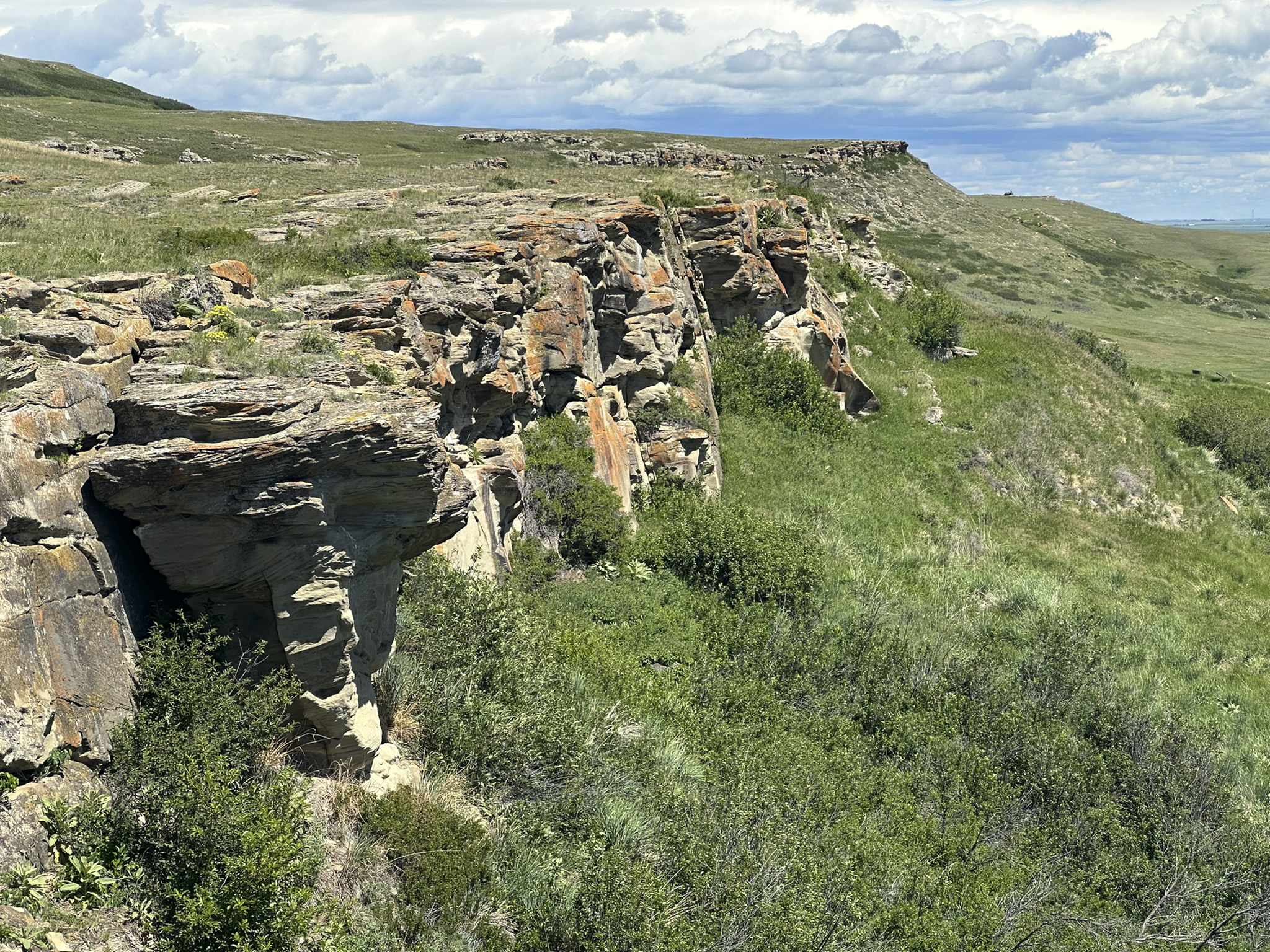
We stopped to see the “Head-Smashed-In Buffalo Jump” World Heritage Site because, curiosity.
Explanation of where the name came from is not what we expected.
Looking out from above – the Buffalo’s perspective.
Looking up from below – the Indians perspective.
Picture doesn’t give the impression of how high and dangerous the cliffs are.
Illustration and diorama of the buffalo jump kill site.
Interesting to learn about all the planning and prep that went into this.
Seeing small herds of buffalo in Custer State Park was great but sort of sad to know they once ruled the plains.
Winter Count Robe records with symbols the most important thing that happened each year.
Napi is Indian name for “the creator”. I thought erratics were just random glacial left behinds, not grouped in a “train”.
There was an Indian “Fancy Dancer” at the Visitors Center with lots of people sitting around watching. Way too loud for me. We left quickly because of the amplified noise and because the mosquitoes were fierce!
We left Head-Smashed-In Buffalo Jump and headed north toward Calgary on Highway 2 but had to turn around and backtrack due to a bad accident that they told us would block the road for several hours. It worked out well because that sent us to Highway 22 that was a beautiful drive along the edge of the mountains instead of across the open plains. Photo above is our campsite at Banff called Tunnel Mountain Trailer Court. We stayed here 5 nights.
On our first day we rode the “Roam” shuttle bus from the campground into downtown Banff. A quick stop at the Visitors Center then stopped at a bank to get some Canadian money. We walked the main street with lots of expensive shops (Banff Avenue) down to the Bow River and then along the river to the Bow Falls.
Tourists and flowers in Banff.
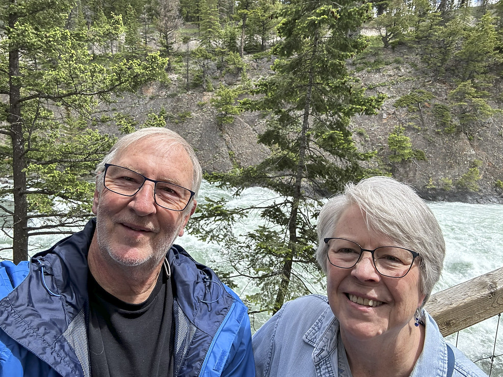
The beginning of Bow Falls (on the Bow River). The town of Banff is in the Bow River Valley and Bow Glacier is the primary origin of the river. After walking the trail along the rapids for awhile we headed back into town for lunch at Indian Curry House.
Reading two books as we travel. “No Ordinary Woman” was recommended by Becky’s sister Deanne. Interesting story of a Quaker woman from Philadelphia area who loved the Canadian Rockies and had a significant part in the history of the Banff/Jasper area. “Jesus the King” is a Tim Keller book on the Gospel of Mark.
Favorite Bible reading for the day: Isaiah 66: 1-2
This is what the Lord says: “Heaven is my throne, and the earth is my footstool. Where is the house that you would build for me, and where will my resting place be? All these things my hand has made, and so all these things came into being,” declares the Lord. “But this is the one to whom I will look favorably: to the one who is humble and contrite in spirit, and who trembles at my message
Alaskan Adventure: Day 19. We crossed into Canada today! Changed the Garmin from miles to kilometers.
Sign for Alberta, Canada just after crossing through customs. No issues, the crossing was easy.
Map of Glacier and Waterton Lakes National Parks. Together they are the Waterton-Glacier International Peace Park. We traveled today from Saint Mary, up to Cardston, and over to Waterton Lakes. It was too early to get into our campground (Crooked Creek) so we went to visit the town of Waterton Village.
Coming into Waterton Lakes area is strange. Here there is no “Front Range” of lower mountains before the Rockies pop up. It’s just rolling green hills of prairie until bang, the mountains stand up.
Parked in Waterton Village with mountain and burned trees in background. We visited the Prince of Wales Hotel in a quick trip 10 years ago in 2016 but did not make it down into the village below the hotel. We did not remember much of the surrounding mountains being burned off then. There was a huge fire, started by lightning 9 years ago in 2017.
Nice house and flowers near where we parked in Waterton.
There is a really nice new Visitors Center.
Deer walked right through the Visitors Center plaza.
Got the Waterton Lakes stamp to go with the Glacier stamp.
Cool relief diorama in the Visitors Center
Parka, the official female beaver mascot of Parks Canada.
Looking north up the lake to Prince of Wales Hotel. We will visit the hotel tomorrow. Named after the popular Prince Edward of Wales back in 1927 (who later became King Edward III) in an effort to entice him to visit. No Prince of Wales has ever visited the hotel… This hotel, like the one not far away at Many Glacier, was built by the American Great Northern Railway. It is worth a visit to Waterton to see this impressive 100 year old building.
Looking south down the lake. That’s the United States (Glacier National Park, Montana) at the far end of the lake.
Already feeling “Woke Canada” and the worship of water, without acknowledging the Creator of water.
Crown of the Continent is a fitting title for the beginning of three major rivers: Saskatchewan emptying into Hudson Bay, Columbia emptying into the Pacific Ocean, and the Missouri/Mississippi emptying into the Gulf/Atlantic Ocean.
This makes me sad.
Favorite Bible reading passage for today: Job 38:1-4
Then the Lord spoke to Job out of the storm. He said: “Who is this that obscures my plans with words without knowledge? Brace yourself like a man; I will question you, and you shall answer me. “Where were you when I laid the earth’s foundation? Tell me, if you understand.
Seven years ago (2016), while Becky and I were still working, we flew to Spokane, WA. for a whirlwind visit to Glacier National Park and the Canadian Rockies. We met up with Becky’s sisters Jennie and Deanne and Jennie’s partner Roni. That trip was breathtakingly majestic. We all wanted to go back someday. This more leisurely trip with our friends John and Pam Hanson was to be “the longed-for relaxing return visit.” The main goal was to enjoy an extended, unhurried time in the beautiful Jasper (#11 on the map), Kootenay (#12), and Banff areas (#13).
This was the Route map we planned for this trip. We left August 20 and planned to return October 15. We followed the plan up to stop #11 at Jasper National Park. The map below shows the route we took home.The trip to Jasper was as planned up to Jasper National Park (where we were staying at Hinton KOA – #11 on the map). However, after 20 days, including five days at Jasper National Park, we got the terrible news that our son Daniel had died. We left John and Pam and headed straight home to Indianapolis from Jasper; as fast as we could. This revised map shows what we actually did and the sad, anxious 4 day trip back home to family and friends. There is so much that could be said, so many thoughts and prayers on that day and the days since; so much tension between ‘we don’t want to think about it’ and ‘we don’t want to forget’. It has taken so long to get back to this post that many things are jumbled and forgotten. But, up to that point, it had been a good trip with memories we do not want to forget so what follows are photos and memories of the first 20 days.
Part 1 – FROM INDY TO JASPER NATIONAL PARK
First stop – Indiana Dunes National Park/State Park (the campground and nearby areas are a State Park within the larger National Park). This was a stop we added at the last minute when we learned that our friends Bob and Lisa were going to be there and we could visit with them. I was looking forward to visiting Indiana Dunes. I thought I would enjoy lots of memories and ‘Deja-vu’ moments from childhood family weekend visits and camping trips in the sandy campground. Turns out I was wrong. My memories were from the Michigan “Tower Hill” Warren Dunes State Park which is closer to South Bend where I grew up. We stopped on our way to the campground at the National Park Visitors Center to get the stamp for one of America’s newest National Parks. We enjoyed the day and discovered a park I had absolutely no memories of. Unfortunately, on Monday night I began to feel poorly. Tuesday morning I tested for covid and was negative. Two days later I would test positive for covid. The weather started to really get hot so we looked forward to quickly getting further north and cooler temps. To finish the covid saga of the next two weeks; I got it, then when I started feeling better, Becky got it. Providentially, we were both over it by the time we met up with John and Pam in Canada.
Monday, August 21, 2023. All road trips seem to start with a stop at Walmart. In northern Indiana Amish country that includes a horse and buggy with railing to tie-up on.
It was going to be a really hot day so first thing Tuesday morning we went for a walk to the beach with Bob. We followed the “Beach Trail” from the campground to the beach.
Arriving from the trail this is the first view of the beach area. If I had ever seen this before I had completely forgotten.
This building, called The Dunes Pavilion, was originally a bathhouse with a restaurant, concessions, and a rooftop observation deck. It was built in 1929 for $100,000. The history of the “Dunes” area is interesting as the shoreline has been jerked back and forth between industrialization (think Gary steel mills) and conservation. Back in 1899, Stephen Mather, first envisioned a “Sand Dunes National Park” but it took 120 years for it to happen. Indiana Dunes received National Park designation in 2020 as the 61st National Park and the 1st National Park in Indiana.
Propeller from steamship that sank nearby in 1911
J.D. Marshall steamship signage
Becky and Bob exploring the Beach and Dunes
In the foreground is “Dunes Creek” which flows through the campground and out into Lake Michigan. In the background is the restored “Dunes Pavilion”. After our morning walk we went back to the campground, had lunch, and packed up at our campsite #119. We said goodbyes to Bob & Lisa then left early afternoon for Ludington, MI where it was about 10 degrees cooler.
The steep steps down to Lake Michigan from Buttersville Campground in Ludington, MI. We saw some colorful reddish sunsets from this campground which we later figured out were mostly due to the beginning stages of Canadian wildfire smoke in the air. The smoky air would get much worse as we traveled further north.Sunset over Lake Michigan.
Leaving Ludington we headed north, crossing Mackinac Bridge to the Upper Peninsula. No photos but we stayed one night at Fayette Historic State Park, and another night at Frontier Bar & Campground. The UP of Michigan is deeply wooded and beautiful to drive through. We especially enjoyed passing through the town of Escanaba.
Becky driving. She took over as I was feeling pretty sick at this point.
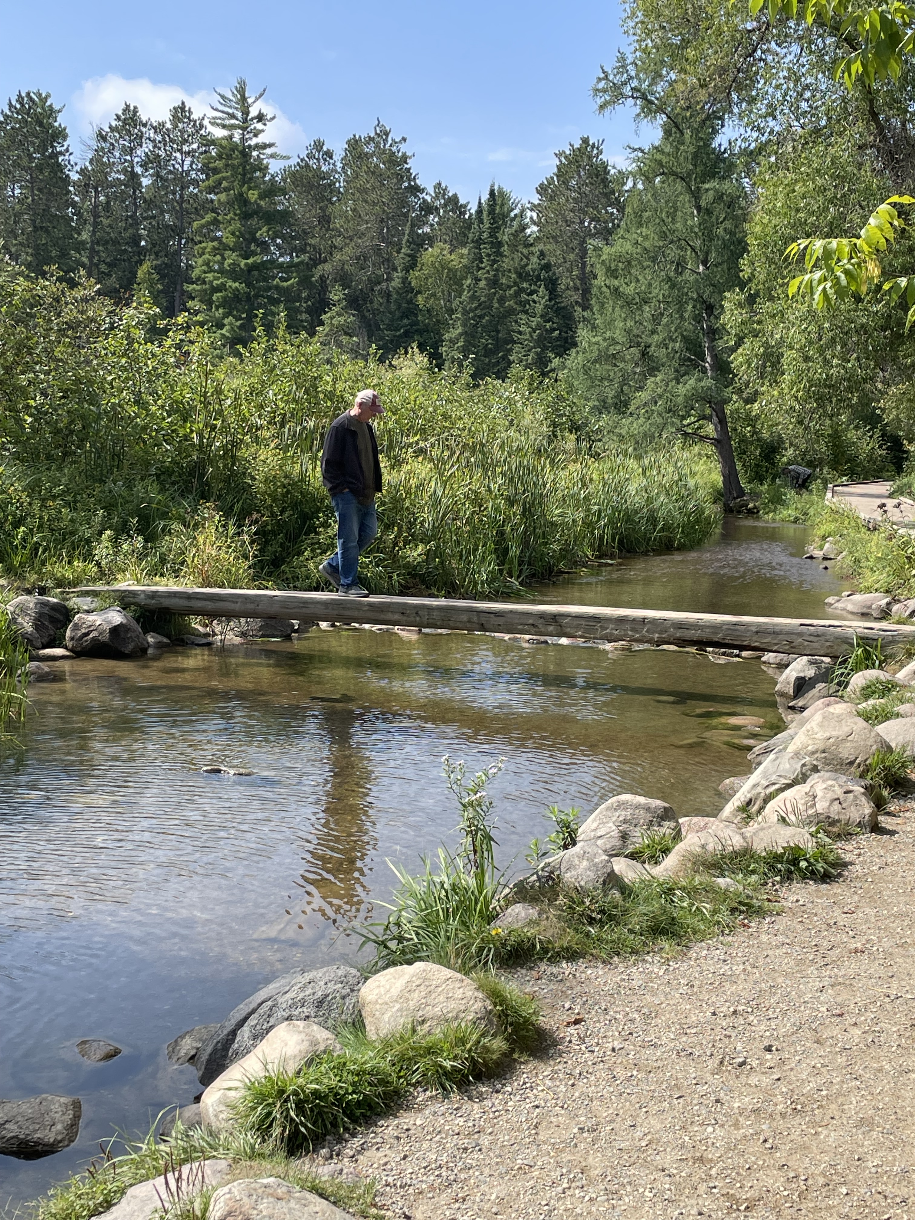
Saturday, August 26 we arrived at Itasca State Park, Minnesota. This is the shallow stream exiting the lake where Lake Itasca becomes the headwaters of the Mississippi River. Hard to imagine this little stream eventually drains 40% of the continental United States (all or part of 31 States).I walked across the Mississippi on a log.
The 1783 Treaty of Paris (signed by Benjamin Franklin, John Adams, etc.) included establishment of the Northwest Territories described as all the land east of the Mississippi River. As the river gets bigger and well defined that’s easy but at the northern end in Minnesota it was hardly clear but very important.
Not a National Park – so not an official NPS stamp – but in my mind a unique State Park with an interesting historical story. After one night at Itasca we went to nearby Bemidji KOA for two nights where we made last minute preparation to cross into Canada and meet up with John & Pam at Winnipeg West KOA. We did laundry and ate meals to use up things we couldn’t bring across the boarder like eggs, chicken, fruits, and vegetables.
Winnipeg West KOA bathrooms
Flowers outside the bathrooms
The land of Ketchup potato chips
Screen capture from my phone showing all the wildfires around where we were heading (Jasper and Banff National Parks are north and west of Calgary on the map). There were no fires directly in the areas we were going but they were all around.
Our motorhome and John & Pam’s travel trailer side-by-side at a rest stop.
River Valley RV Park in Langham, Saskatchewan. This was a really nice stop that we wished we could have stayed another day to enjoy. Beautifully well kept and clean. The only downside was the wildfire smoke was getting really thick so we stayed mostly inside.
Reddish sun seen through dense wildfire smoke.
Doing our part to reduce the Canadian insect population…
Rapeseed fields were abundant in Canada. A genetically modified version of this plant is where Canola oil comes from.
I was reading this book as we traveled. I am convinced this was Providential as it helped prepare my heart to receive news of Daniel’s death.
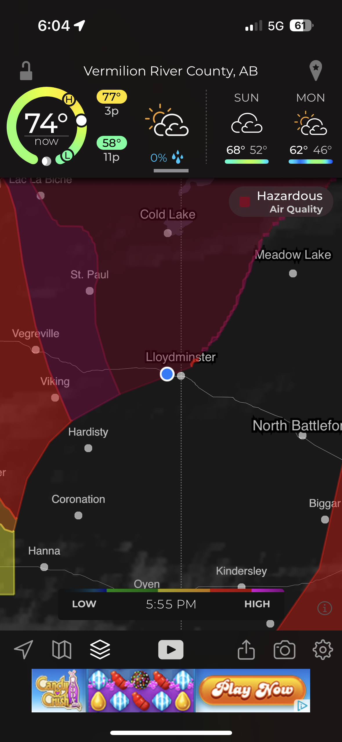
Our last stop before Hinton was “Camp N RV” in Lloydminster. This picture from my phone shows the worst air quality of “Hazardous” that we encountered.
Reddish smoky sky sunset as we arrived at Hinton KOA.
Part 2 – JASPER NATIONAL PARK
Jasper Day 1 – Old Fort Point and Five Lakes Hike
Becky was feeling better but wanted to wait one more day to be certain of not exposing John and Pam to covid. She stayed behind on this first day trip from Hinton KOA into Jasper National Park. The air was still smoky from wild fires but clearer then it had been on the trip into Hinton. The drive each day from Hinton into Jasper National Park (and back) took about an hour but each day the scenery was different and we almost always saw some beautiful sites and lots of wildlife.
The first drive into Jasper resulted in this beautiful bull elk standing majestically along the roadside.
Elk bull and cow showing off for the tourists.
The tourists all stop for the majestic wildlife. The locals get aggravated…
Mountain Goats
We saw Bighorn Sheep on the drive into Jasper. After stopping at the Visitors Center in Jasper and getting some advice on things to see and places to hike we started out to hike to an overlook called Old Fort Point (there was never a fort there).
Stairs at the beginning of hike up to Old Fort Point.
We hiked most of the way up and admired the smoky view of the Athabasca river valley and town of Jasper below. Pam and I were content to stop here but John needed to get to the top so he headed on up. When he came back down I met him and he asked “Where’s Pam?” Seeing she was not where she had been sitting and getting no response to calling out for her, John thought she might have headed up to find him. He hurried up looking for her and I headed down looking for her. Turned out she was just over the hill a little further down so after a bit of panic it all worked out. In that photo: nearly all of the trees in the valley and part of the town of Jasper were burned away in the wildfires summer of 2024.
This is looking up to the top of the overlook. I think that is John talking with a couple other people he met up there. The elevation gain from the bottom of the valley at the stairs to the top is 130 meters (426 feet).
John and Pam reunited and relieved. The next two pics (below) were from across the valley a few days later. They show the ‘hump’ where Pam and I stopped and the top of the overlook where John reached the peak.
Old Fort Point Overlook
Our next stop was the Valley of Five Lakes. We hiked the 9a/9b short loop.
John and Pam taking a break at one of Canada’s “Red Adirondack Chair” scenic locations.
Clear and beautiful lakes.
The lakes are still there but from what I read online the lakes are now muddy and the trees are all burned away after the summer of wildfires in 2024. Grateful to God that we were able to visit Jasper again before the fires.
We saw Bighorn Sheep on our drive back to Hinton.
Jasper Day 2 – Maligne Canyon and Maligne Lake
We were grateful that Becky was with us and the air was less smoky so we could enjoy the Beautiful Mountains and wildlife on the 2nd day.
Up close with Bighorn Sheep.
We really enjoyed Maligne Canyon. This is at the beginning of the canyon where the water is starting to carve down into the rock in smooth pools and eddies.
The next 4 photos show where swirling rocks and water have worn away smooth ‘pot holes’
The canyon hike is beautiful as the water cuts deeper down in waterfalls, sluices, and whirlpools. A series of bridges cross the river. Becky and I hiked to bridge #2 then turned around and returned to the van while John & Pam continued on to bridge #5 where we picked them up.
The name Maligne comes from the French word for ‘wicked’ or ‘evil’. While the English verb maligne is pronounced ‘muh-LINE’, the local Jasper pronunciation of the canyon’s name is ‘muh-LEEN’
Panorama shot stitched together from 10 photos.
View from the “5th Bridge” where we picked up John & Pam.
It had snowed on the mountaintops overnight which just increased the majesty of the surrounding peaks.
Maligne Lake. Becky and I enjoyed the gift shop and restaurant while John & Pam went for a hike.
A storm rolled in and rain started just as they got back from the hike.
Historic Boat House. The Boat House survived the fires of 2024 but much of the surrounding trees and infrastructure did not.
Not sure what bird this is in the bushes by the Boat House but the ‘birder’ lady that pointed it out to me seemed pretty excited about it.
John was driving and said “what else do you want to see?” I said “moose.” A little further down the road John pulls over and says “there you go”…
Mama Moose nursing Baby Moose.
Saw more Elk on the way back through Jasper while returning to Hinton KOA for the night.
King of the road
Jasper Day 3–Athabasca Falls and Sunwapta Falls
More snow during the night on the mountaintops
Saw more Elk along the road coming into the Park.
Athabasca Falls
Incredible amount of water pouring down the canyon.
Tourists
To be so close, to feel the rock foundations vibrate.
And we saw Bears. Up close, probably too close, but they seemed more interested in grazing on leafy greens.
Sunwapta Falls
Sunwapta Falls (means “Turbulent Waters”) is a series of cascading waterfalls.
Jasper Day 4 – Mt. Edith Cavell
The hike from the parking lot is long, steep, and beautiful. A stream follows the path part of the way. Eventually the trees become little short stunted pines above the tree line elevation.
Mount Edith Cavell (3,300 meters=10,800 feet) and Angel Glacier.
Mount Edith Cavell is named after a British nurse executed during World War I for her part in helping Allied prisoners escape occupied Brussels.
Photos below from our visit in summer 2016 compared to 2023.
August 23, 2016
September 7, 2023
Annual lines in glacial ice.
Below: John making careful rock selections (notice the distended pockets) and posing by high elevation pine tree.
John taking a moment to enjoy the mountain views
Stream of meltwater from Angel Glacier
Melting Angel Glacier Waterfalls
We stopped to see a mountainside with lots of bighorn sheep.
A Canadian military plane surprised us as it flew low through the valley on our return trip to Hinton.
Our campsite at Hinton KOA as we prepared to say goodbye to Hanson’s and head home.
Our last drive of the trip as we headed home was back through Jasper National Park and on down the Icefields Parkway, past the Athabasca Glacier, and Banff National Park.
A little post-trip travel analysis: This is all based on only our RV mileage (we traveled lots of other miles in Jasper NP with John & Pam in their van). 4,636 miles according to RVparky route, 4,691 actual miles. 436.25 gallons of gas. Cost – $1,761.77 for average cost/gal $4.04 10.75 miles/gal 22 nights/23 days total = average of 204 miles/day 13 different overnight places/14 days of traveling = 335 average miles per travel day Our longest Travel Days were the days coming home: 1st day: 638 miles from Hinton, British Columbia to Ponderosa Campground, Swift Current, Saskatchewan 2nd day: 362 miles to Old Settlers Park in Burlington, ND (includes border crossing) 3rd day: 623 miles to Stoney Creek RV Resort, Osseo, WI 4th day: 530 miles to Home = 2,153 miles home.
We camped at Cherokee KOA after a long drive, made longer by our stop at Ninety Six National Historical Site. It was fun leaving the flat coastal areas we had been visiting for three weeks and heading inland to start our next goal of; “Drive the Blue Ridge Parkway”.
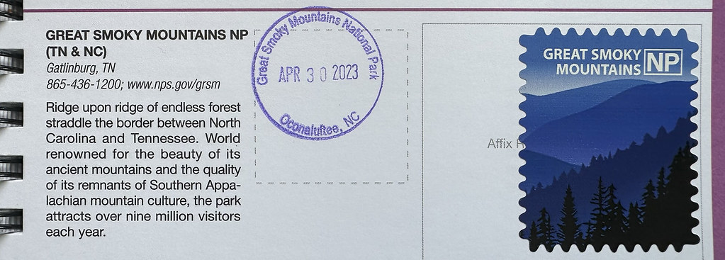
Got the stamp at GSMNP Oconaluftee Visitors Center. This is the Eastern entrance to GSMNP just outside of the town of Cherokee, NC.
We stayed in Cherokee because the Blue Ridge Parkway ends (or in our case, starts) in Cherokee as the Southern terminus of the BRP. We had a day to rest before starting the BRP so we drove into GSMNP. The RV did great motoring up to the top of Newfound Gap and the views were wonderful out the big front windshield.
View of clouds on the mountain from our campsite this morning. Reminded me of Smoky Mountain backpacking adventures in younger days.
View from the Oconaluftee Visitors Center.
There was a chicken wandering around loose at the Visitors Center. I stopped worrying about bears.
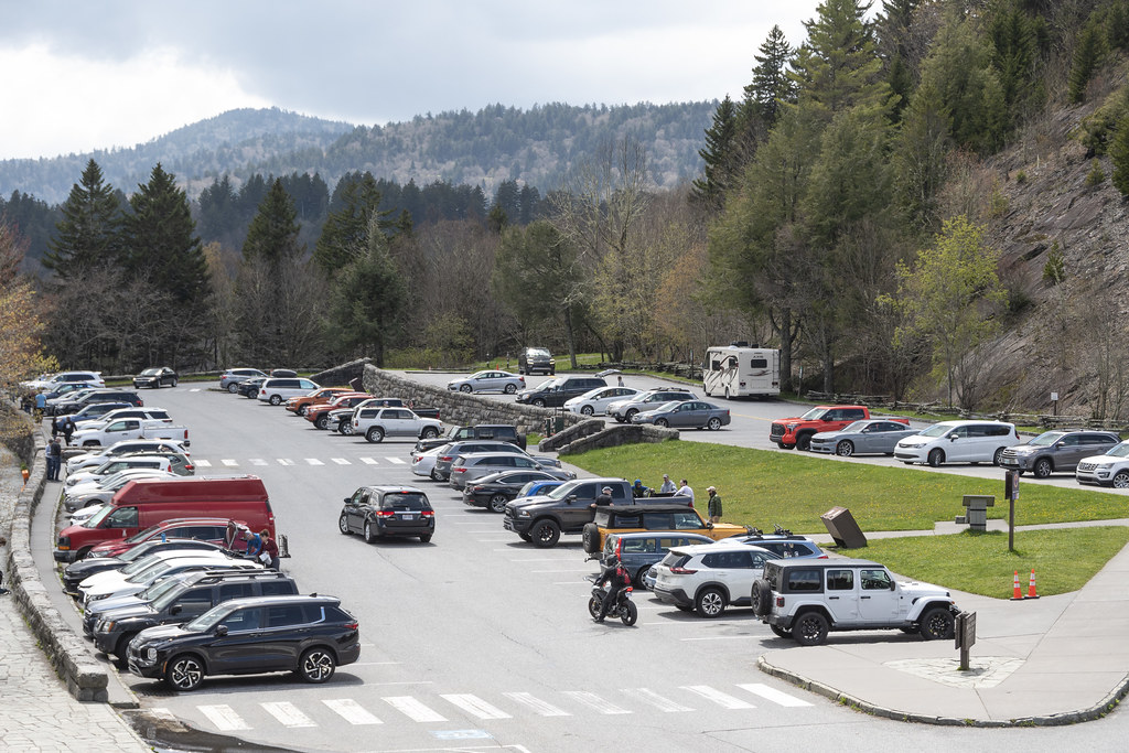
We made it to the top at Newfound Gap. That’s our Axis RV in the parking lot. The only RV in the parking lot, hmmmm…
Admission to GSMNP is free but there is now a ‘parking fee’ if you are going to stop and park anywhere in the park longer than 15 minutes.
The Appalachian Trail (AT) mostly follows a mountain ridge inside of GSMNP. Here at Newfound Gap the trail crosses the road and picks up again on the edge of the parking lot. Only 1,972 miles to the Northern end of the trail at Mount Katahdin in central Maine.
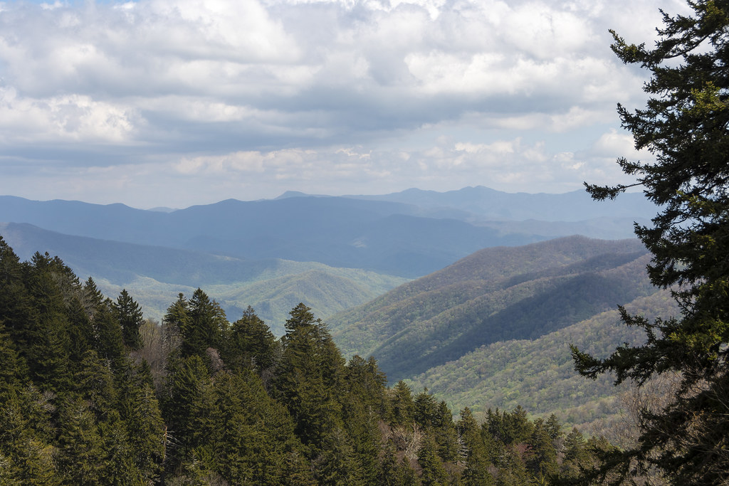
Views from Newfound Gap
At the bottom of Newfound Gap Road, near Cherokee, the road follows along the Oconaluftee River. The water is so clear!
This area of the woods was full of white flowers blooming
Ending this post with a bunch of beautiful butterflies. There were a bunch of bees too so I didn’t stay long. Someone had spilled something sugary on the pavement-not very natural but the butterflies were cool… (maybe pipevine swallowtails?)
A UNESCO World Heritage Site: Amazing place on earth, go here if you ever get a chance.
We stayed at Gros Morne National Park two times. This first time we visited “Western Brook Pond”.
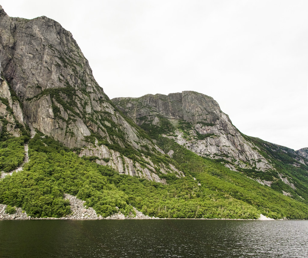
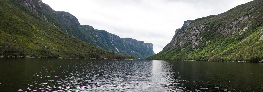
Parking out by the road, we walked about an hour across flat coastal lowlands to reach the entry to the 540 foot deep “Pond” (we would call this a lake). The glacier carved pond is 10 miles long and the surrounding cliffs tower 2,200 feet high. The weather was sunny a few moments but mostly overcast and threatening rain. We were grateful to get finished without getting more than a few sprinkles.
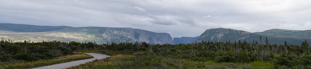
The mountain range (in photo below) that rises up along the western edge of Newfoundland is called the “Long Range Mountains”. It is an extension of the same mountain range we in the United States call the “Appalachian Mountains”. I had no idea that the Appalachian Mountain Range continued that far north into Canada.
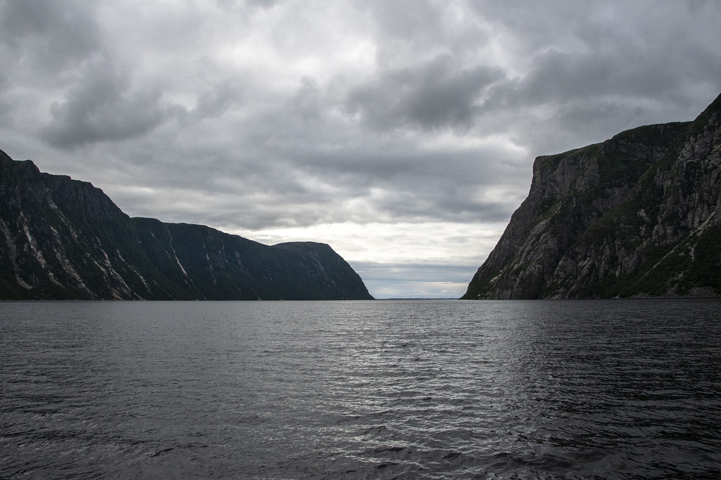
Following are a bunch of photos – none of which really capture the grandeur of the place – but they bring back good memories. I hope they inspire others to visit Gros Morne.
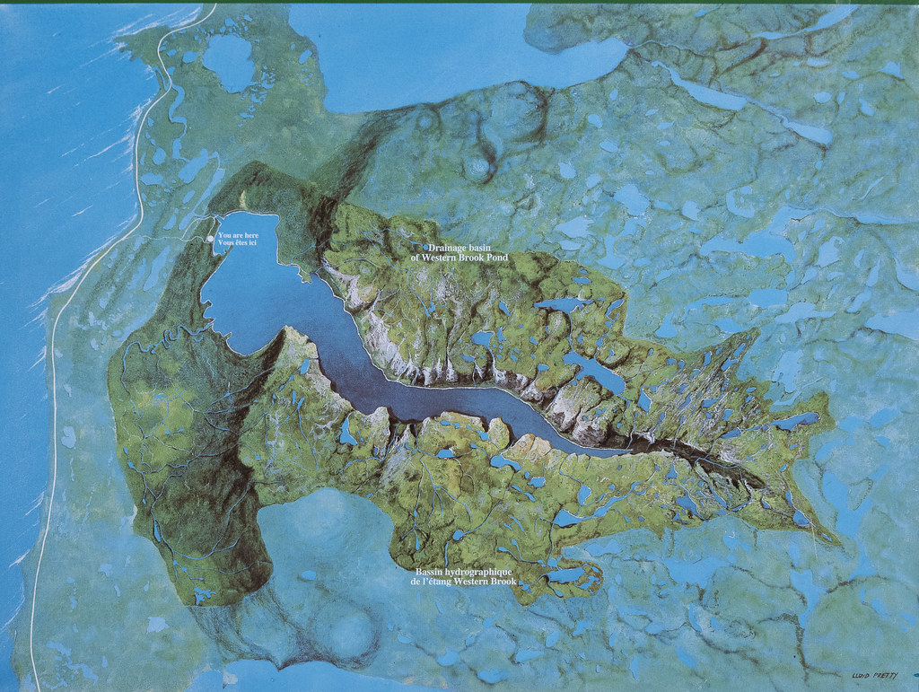
My kids hate it when I stop to read markers but it helps to understand how this unique place ‘happened’. Feel free to skip this if you are like my kids.
Jennie & Becky headed to Western Brook Pond for the boat ride
Scenes along the trail
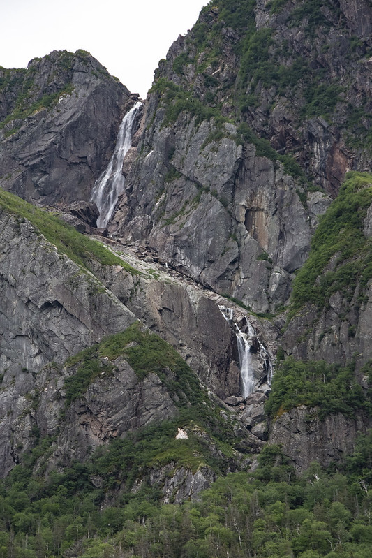
Lots of waterfalls off the surrounding cliffs fill the pond with fresh water.
Two examples of lava forced upward through cracks then exposed by glaciers. I think that is called a “diabase dyke” and according to Gros Morne geology the cracks formed when the supercontinent began breaking apart.
On the boat returning back to the dock the pond looked like an infinity pool.
Looking back toward the pond as we walked to the car we saw this glorious rainbow.
Panarama of the Long Range Mountains; the end of the Appalachian Mountains